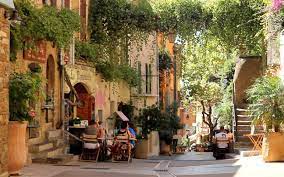
Le Lavandou and its surroundings
Le Lavandou located in the “Provence-Alpes-Côte d’Azur” region to the south of the Var Côte d’Azur, is also called “La Cité des Dauphins”. Lavandou benefits from a mild and temperate climate, with dry and hot summers.
On the sea side, the authentic fishing village is located on the shores of the Mediterranean. Facing the Levant and Port-Cros Islands, Le Lavandou stretches over 12 km of coastline with 12 magnificent beaches of fine sand, of different grain sizes and colors.
On the land side, Le Lavandou is nestled at the foot of the Massif des Maures. You will find lush Mediterranean vegetation and a protected environment.
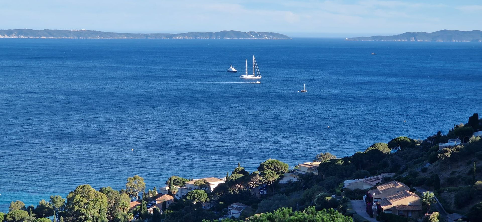
Ideas for walks
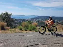
• The ridges: if the road is not closed due to fire risks, really do the ridge route overlooking the Mediterranean. You can also do the loop from the house to Rayol or from the house to Bormes les Mimosas, including by bike. You can also (watch out for the heat) reach the ridges on foot (30 mins) by following the Chemin de Curet.
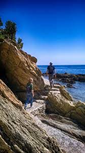
•The coastal path by the sea which goes from Lavandou to Cavalière and which can be taken halfway to Aiguebelle • Right next to the house you can see a waterfall. This only flows after heavy rains. A little further up following the road you will come across another even more impressive waterfall (20 mins)
• The closest beach on foot is La Fossette. It takes 20 minutes to go down…and a little more to go up
further
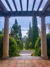
Garden of Rayol 15'
Le Lavandou, its port, its alleys, 10'
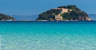
Château de Brégançon15'
the islands " iles d'or" Porquerolles, port-Cros,
le Levant: départure from le Lavandou or from Hyères
Collobrières : the city of chestnut cream! 40'
Bormes les mimosas and its pretty old town15'
Saint-Tropez 30’ …..and so many other ideas
and so many other ideas
